English
 Română



ABOUT US
The Topography and Geodesy Center SRL Cluj Napoca carry out their activity in the field of Topography and Geodesy Surveying and Cadastre measurements .Our engineers Topographers have specialized training to meet any requirement related to our field of work. The company has a team with extensive experience in Topographical services,surveying and data processing.
WE WILL DRAW THE FUTURE!
The Topography and Geodesy center is at your disposal with a flexible schedule,
providing you with Professional, efficient services in the shortest possible time and at an affordable cost.
TOPOGRAFIC ELEVATIONS
CADASTRAL DOCUMENTATIONS
STUDIES AND SURVEYS
ENGINEERING TOPOGRAPHY
TOPOGRAFIC ELEVATIONS
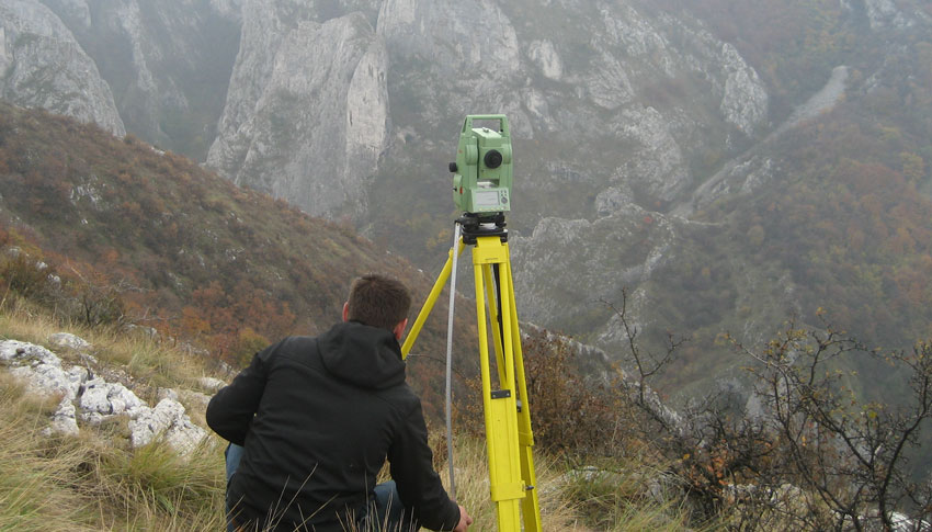
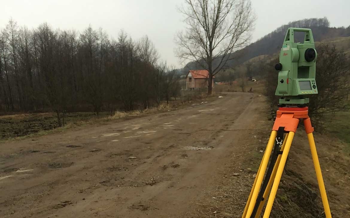
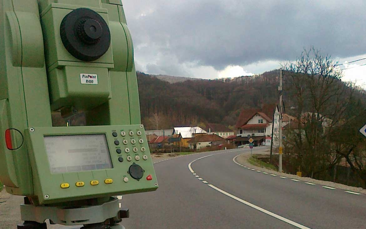
The Topographic elevations is the complex of the field and office operation, which determines the plan and spatial position of some points of the Topographic surface in order to obtain a Topographic plan.
- Topographic elevation for all types of land and constructions.
- Topographic elevation required for infrastructure projects: roads, bridges, sanitation, gas, telephones.
- Topographic elevation for investment projects, for calculating volumes of digging, fillings ,excavations , for preparation of case plans necessary to release: CU, PUZ, PUD, PAC.
ENGINEERING TOPOGRAPHY
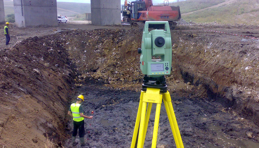
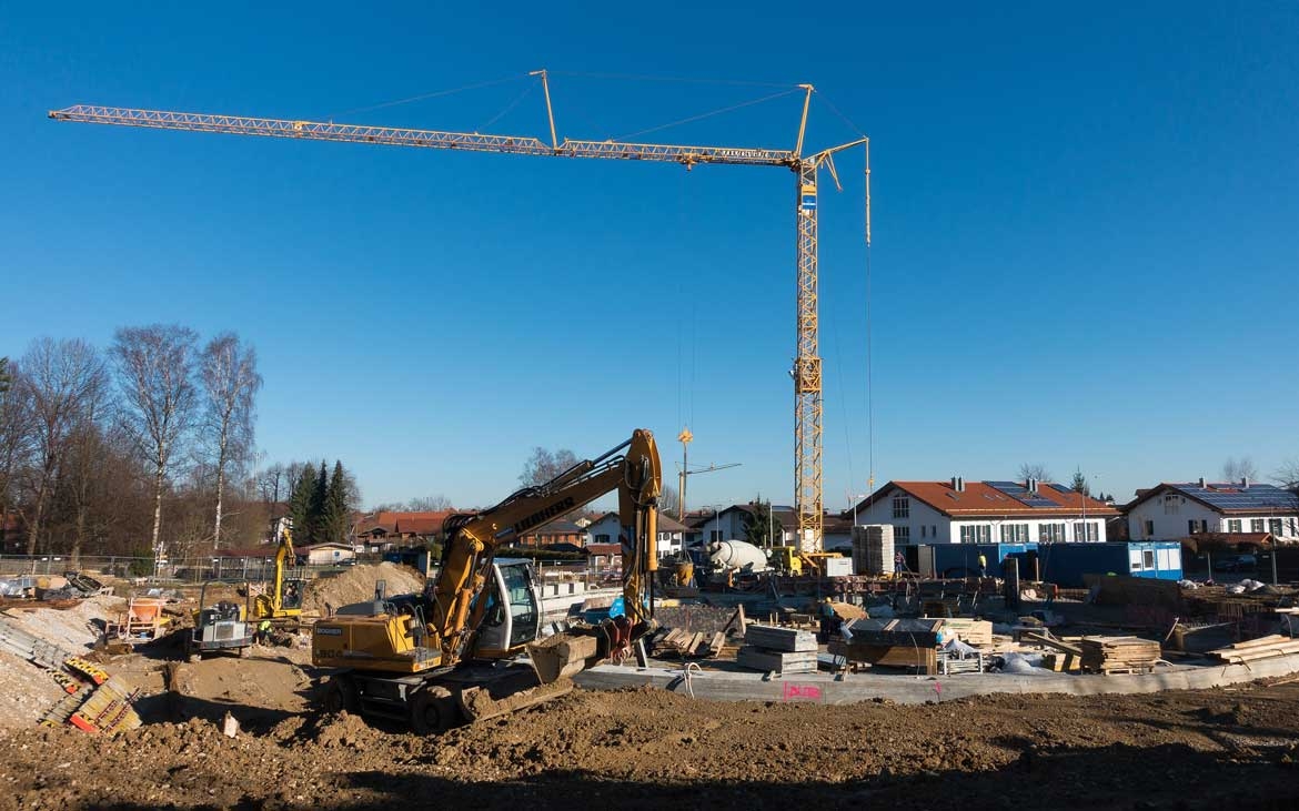
Engineering topography includes measurements that are executed for the design, execution and operation of construction.
- Marking property limits.
- Land plotting for construction, establishing property limits and roads, construction staking of the sites.
- Drawing foundations.
- Drawing the outline out the buildings, including the interior.
- Drawing of construction axes, points and quotas.
- Zero-point tracing.
- Tracing Pilar positions and positioning poles, beams, structural walls.
- Plotting topographic support network of the site.
- Time tracking.
- Leveling of low and high precision.
- Time tracking of buildings.
- Surveys of Civil and industrial buildings.
STUDIES AND SURVEYS
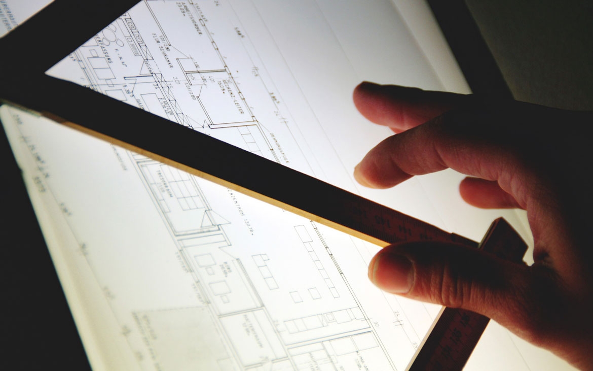
Topographic Plan - a conventional, planar, analogical or digital representation of a piece of land, in a cartographic projection and in a reference system.In Romania , the Topographic plan is drawn up in the Stereographic projection system 1970 and in the Black Sea Reference System 1975.
- Technical topography papers.
- Elaboration of topographical plan for situation.
- Site and layout plans required by the customer (on request).
- Site plans that include level curves, including 3D.
- Site plans to obtain: PAC, PUD, PUZ, PUG and Urbanism Certificate.
- 3D site plans including level curves.
- 3D models of landforms.
CLASSIC AND GPS MEASUREMENTS
- Determining planimetric coordinates, geographic coordinates.
- Exact determination of the x, y and z coordinates in any are of the country.
- Creating and thikening the topographic support networks.
- Creating and thickening the geodetic network by classical methods or GPS methods.
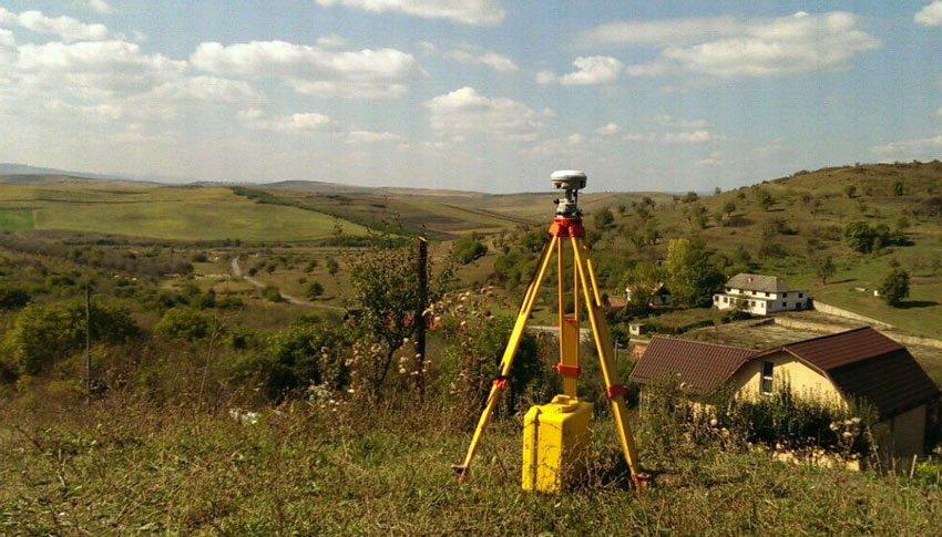
- High precision measurements using GPS methods.
DOCUMENTATION, CONSULTING
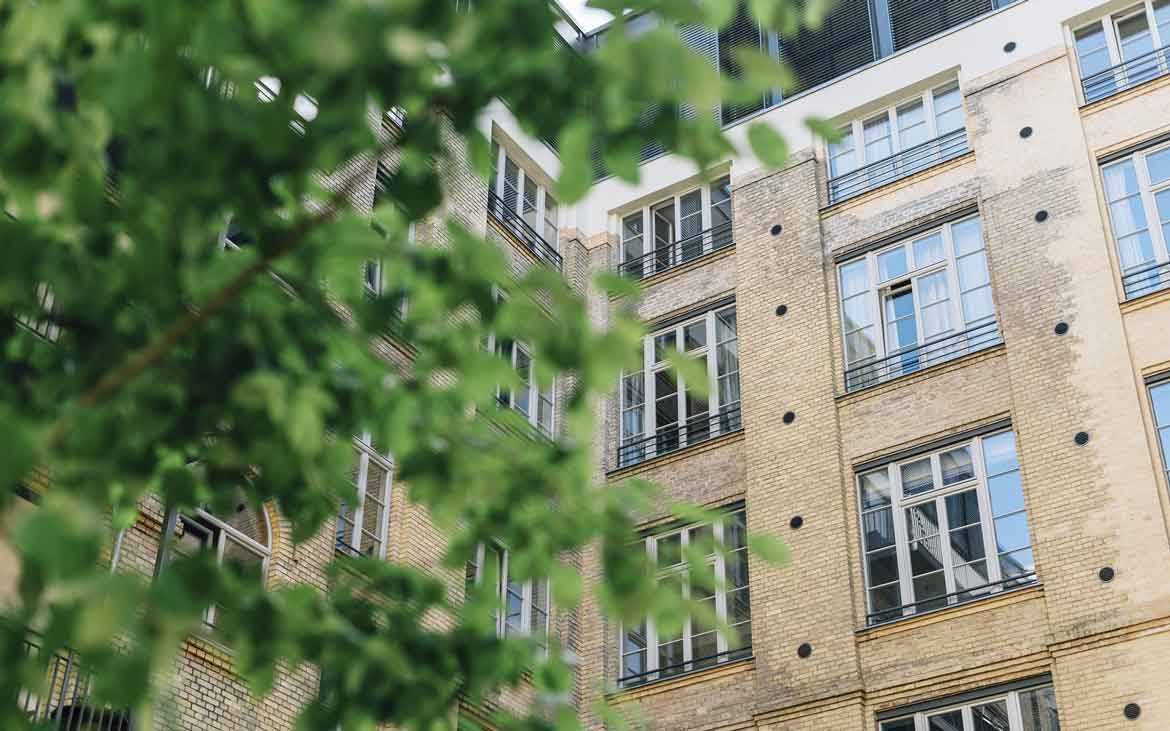
The Cadastral documentation is the ensemble of technical, legal and administrative documents necessary for the registration of the real estate upon request in the integrated cadastre and land registry system, which establishes the real estate situation.
- Cadastral documentation of the first registration of the real estate properties in the Land Book.
- Cadastral Documentation for the registration of buildings in the Land Book.
- Cadastral documentation for dismantling / accessions.
- Cadastral documentation for apartment buildings, residential flats, lounges, garages and common parts.
- Cadastral documentation of updates, rectification, modification of the property limit and/or modification of the real estate surface.